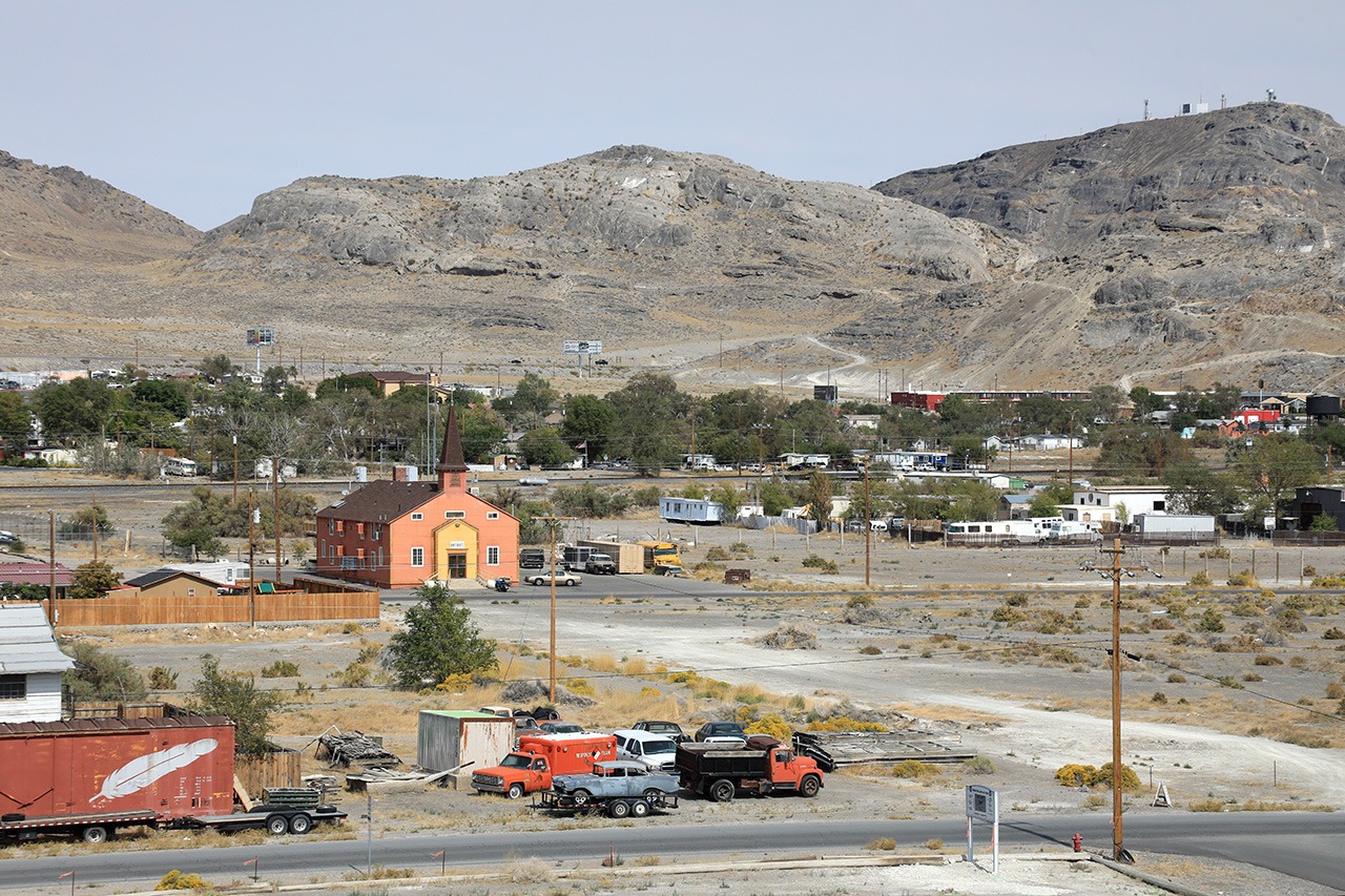
Wendover, Box Elder County
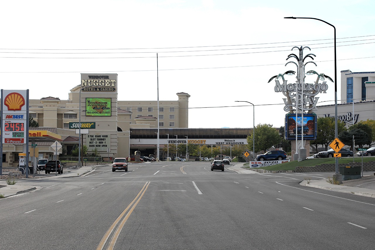
Wendover Boulevard facing west toward the Utah-Nevada state line

Wendover Boulevard facing east toward town from the Utah-Nevada border
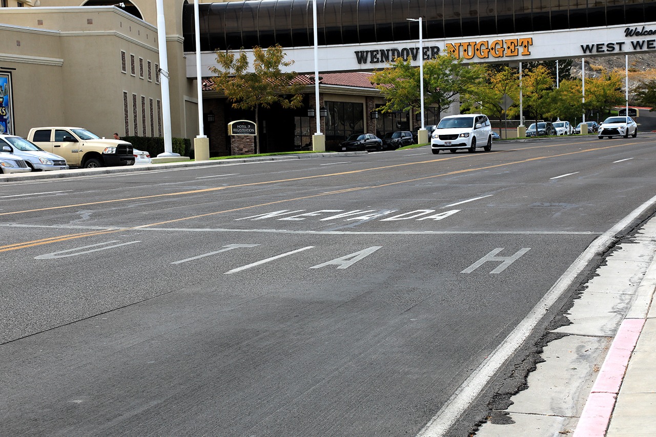
Utah-Nevada state line
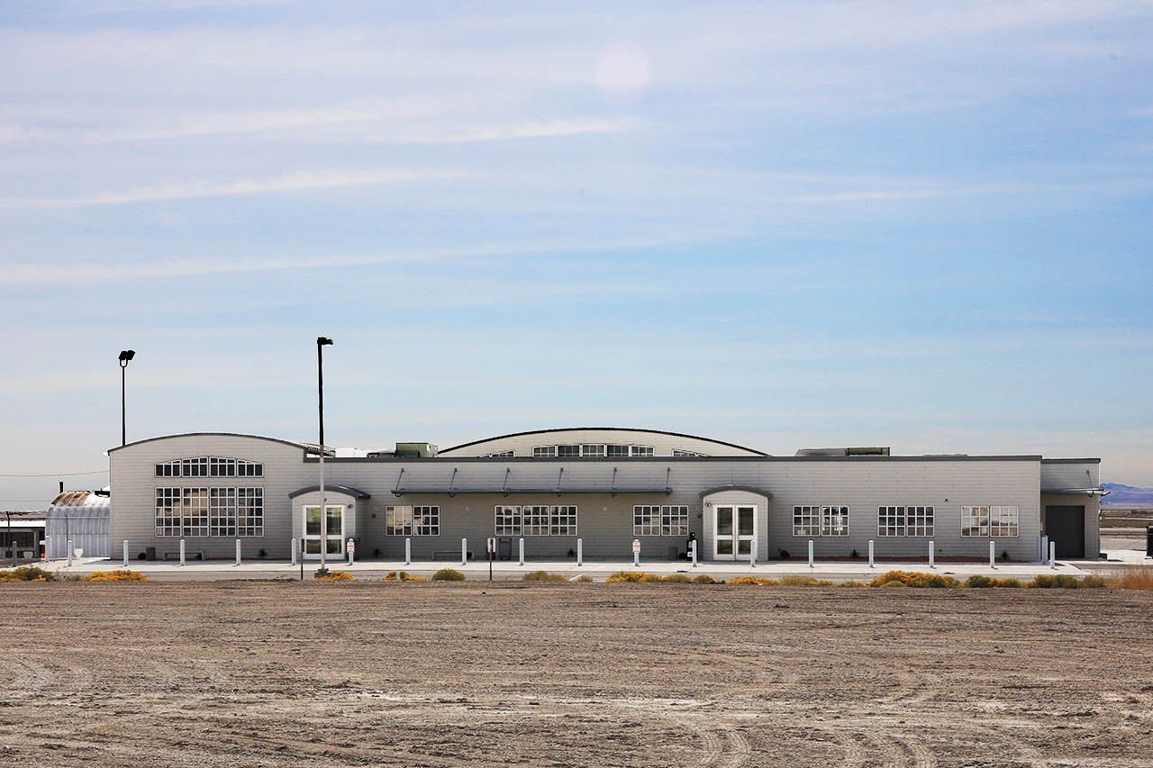
Wendover municipal airport terminal
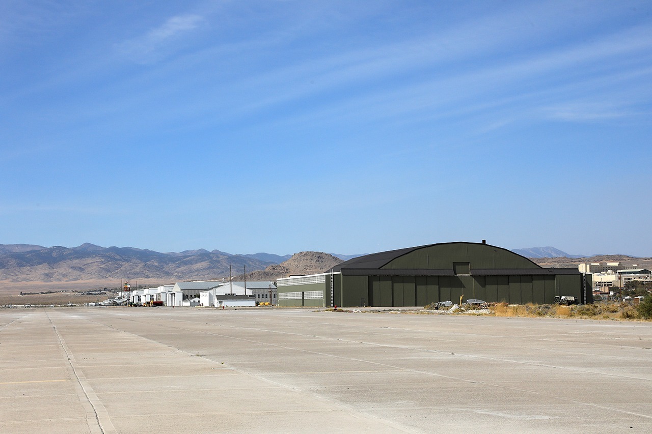
Wendover historic airfield with the B29 and other hangers
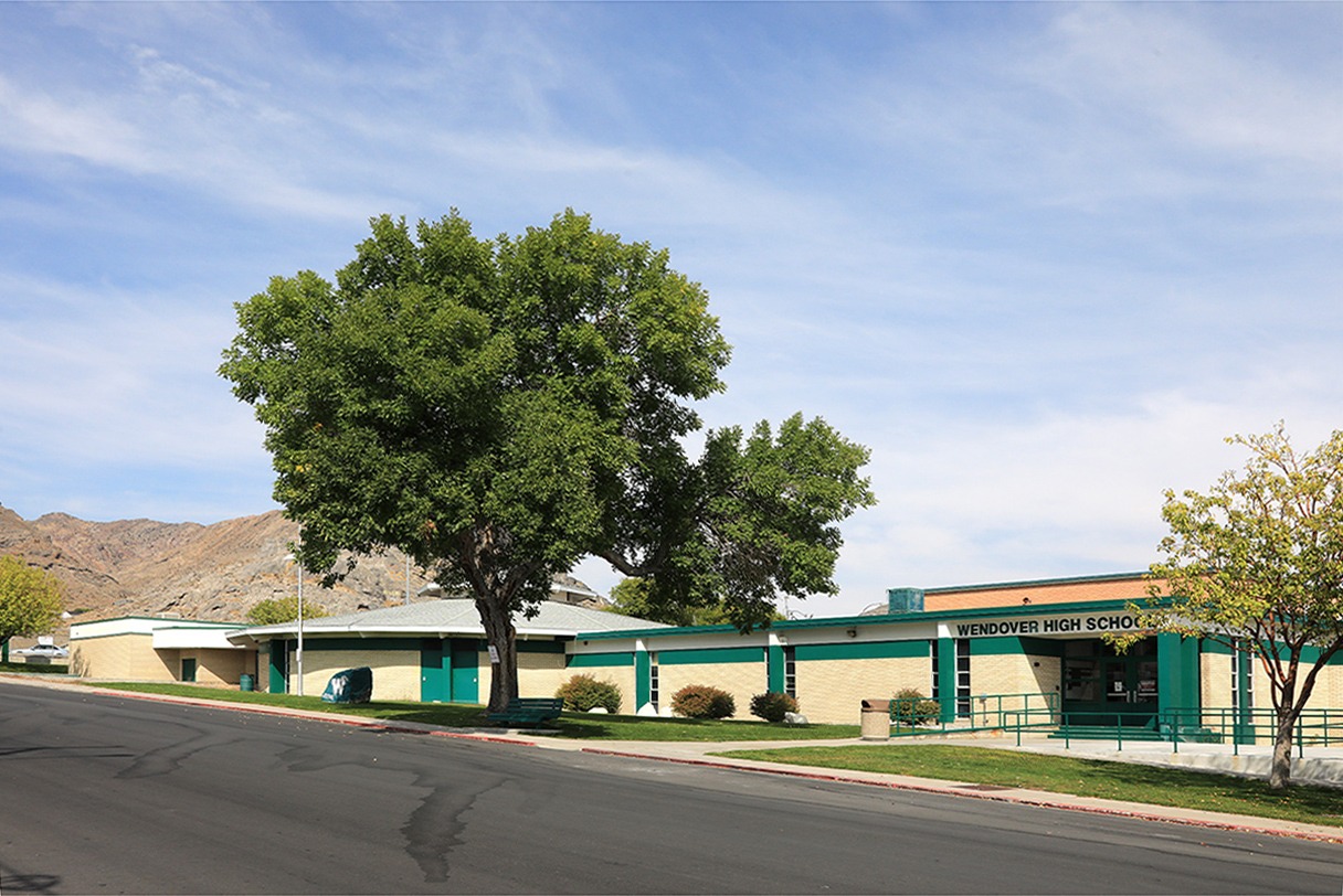
Wendover High School
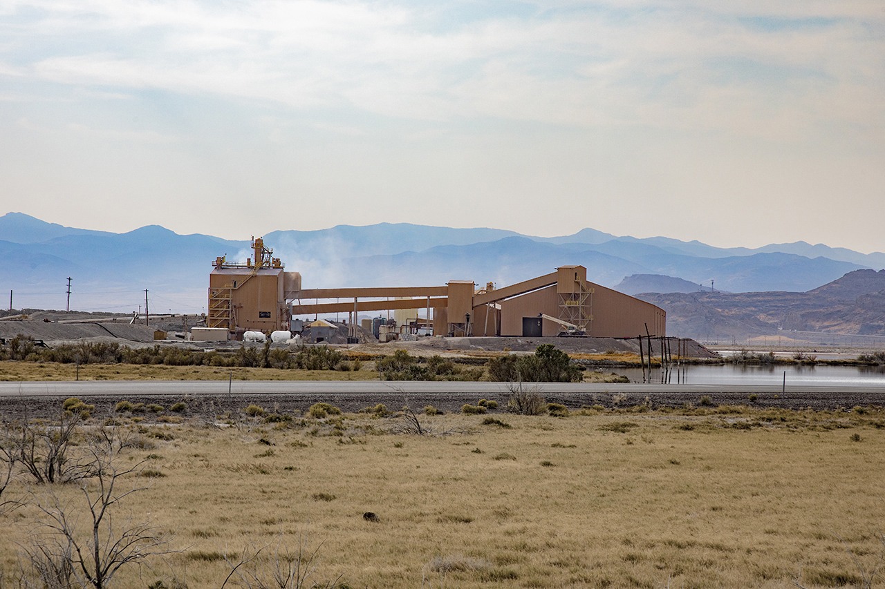
Potash plant just east of town
Wendover (along with its neighbor, West Wendover, Nevada) is a town with a split personality. It was founded as a station stop for the Western Pacific Railroad which was completed in 1914. In the 1930’s, a casino opened just across the Nevada border and the double nature of the community began. Wendover is adjacent to the western border of Utah and Nevada. It’s counterpart, West Wendover, Nevada joins it at the border but is a separate community. West Wendover has a highly developed gambling and entertainment industry while Wendover is instrumental in offering tourist services. It is also home to a potash plant and the Bonneville Race Track, just to the east of town. Wendover exists in Utah, which does not allow any type of gambling. West Wendover is in Nevada which is much more tolerant about this and other activities. During World War II Wendover was the location for the Wendover Army Air Base. For a time it was the largest military air base in the world at 1.8 million acres and 22,000 personnel. B17 and B24 squadrons trained here before being deployed in the Pacific or Europe. In 1945 the B29 bomber, Enola Gay, trained here prior to dropping a nuclear bomb on the Japanese city of Hiroshima. More information about the Wendover Army Air Base is available under the category, “Along the Way.”
Location: west on Interstate 80 to the Utah/Nevada border, 120 miles/194 kilometers from Salt Lake City, Utah.
Founded: 1908
Named For: “Wending Over,” the trip from Salt Lake City, Utah
Population: 1400
Altitude: 4291 ft/1308 m
Official Utah Highway Map Coordinates: D-1
Latitude/Longitude: 40.73555556 -114.03305556