Woodruff, Rich County
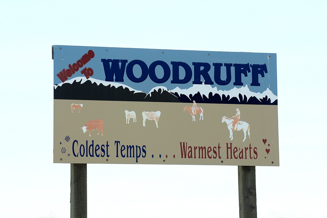
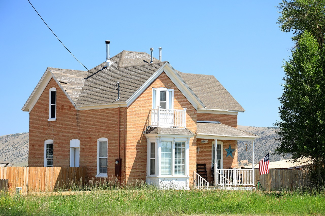
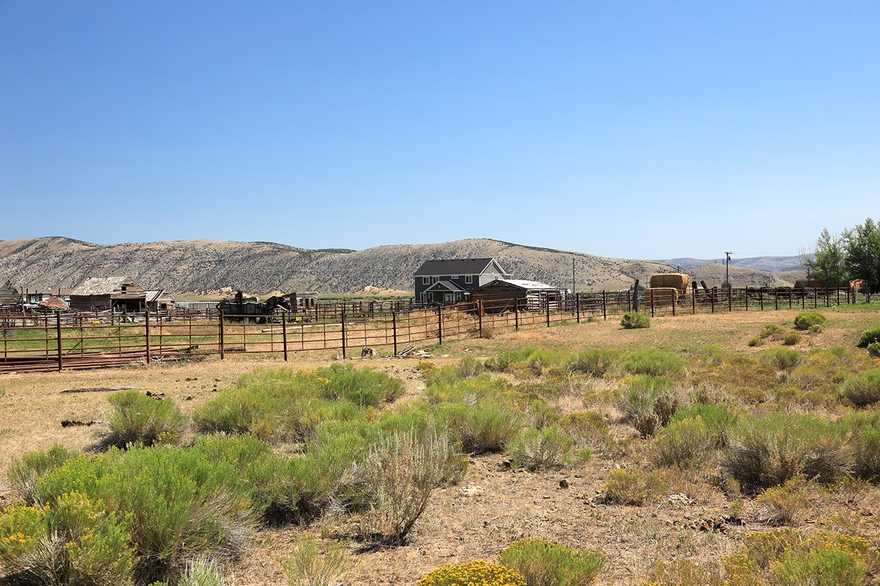
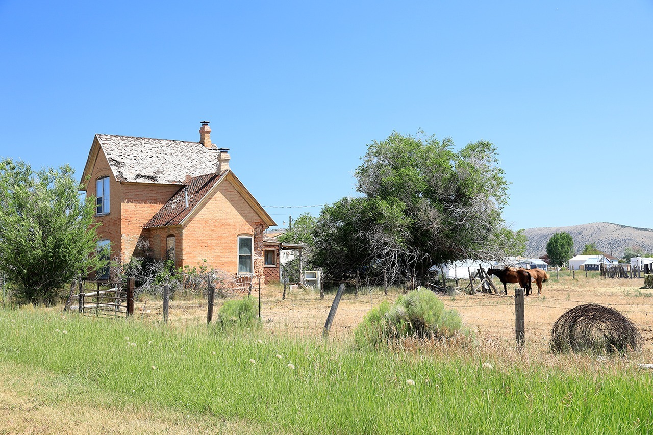
Woodruff is a ranching/farming community in the Bear Lake Valley
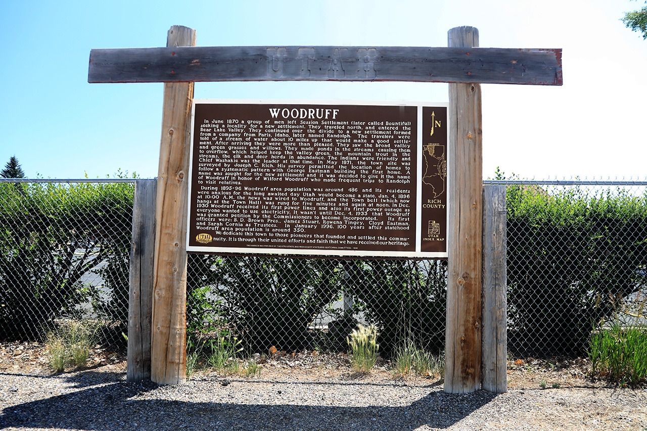
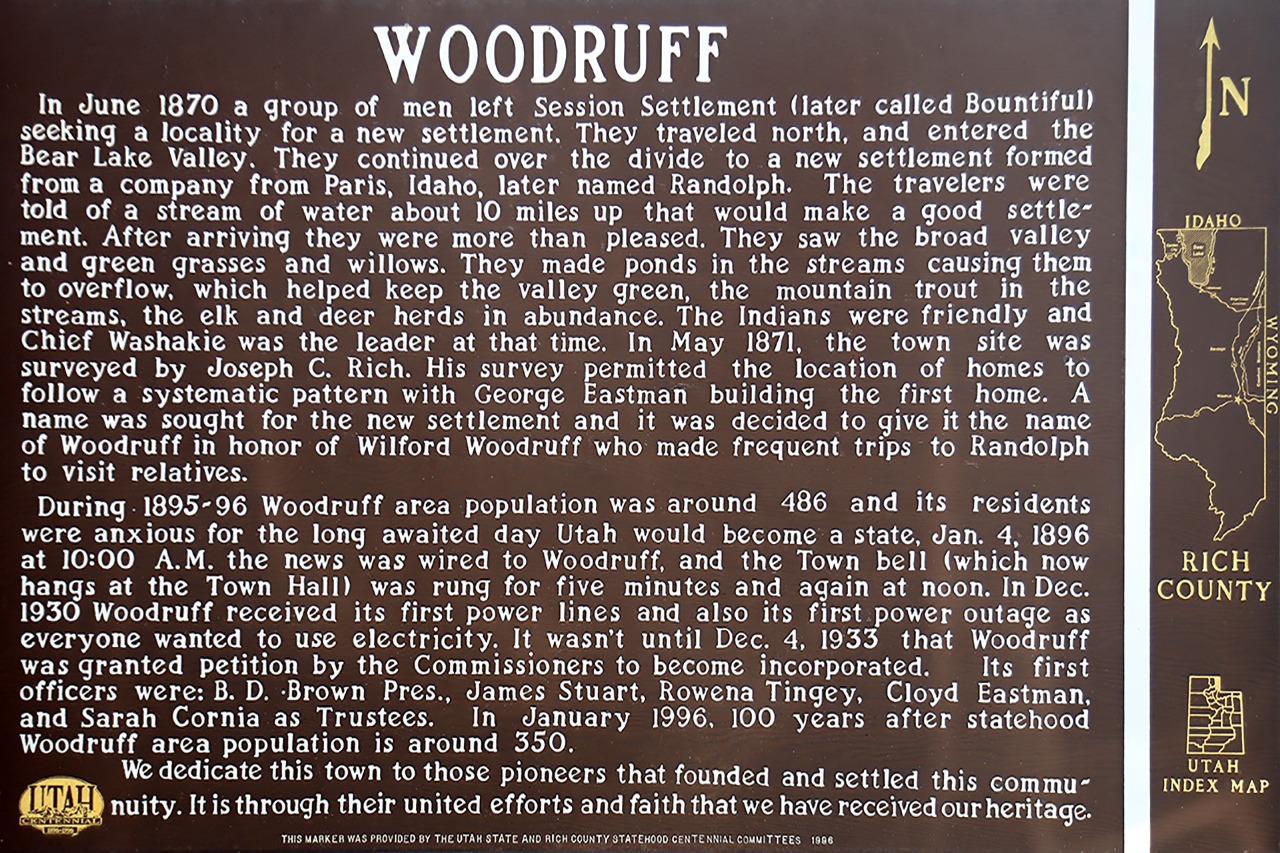
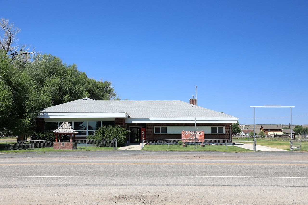
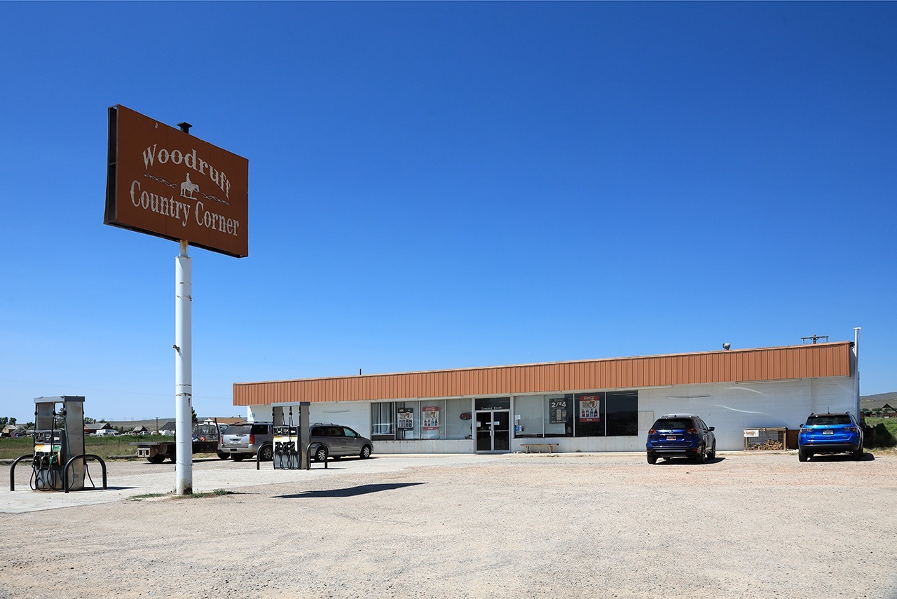
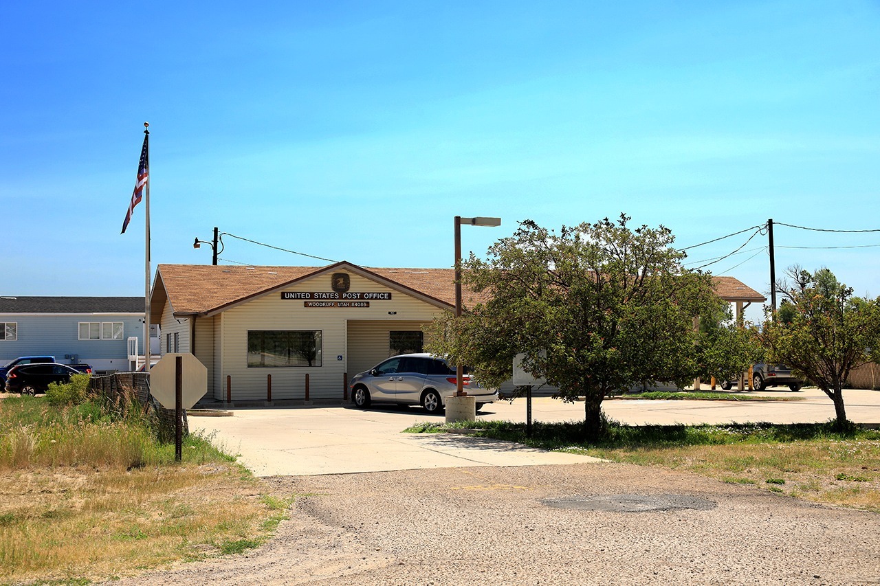
The history of Woodruff is laid out in the words of its residents on the plaque pictured above. It is a small farming/ranching community on the east side of the Wasatch Mountain range. It is located in what is known as the high desert and is subject to extremely low temperatures during the winter. Summers, while hot like the rest of Utah, are a bit cooler than most other places in the state. Food and fuel can be purchased but no lodging is available. Utah Highway 39, which ends here, is designated as the Monte Cristo [sic] scenic byway starting in Huntsville, Utah.
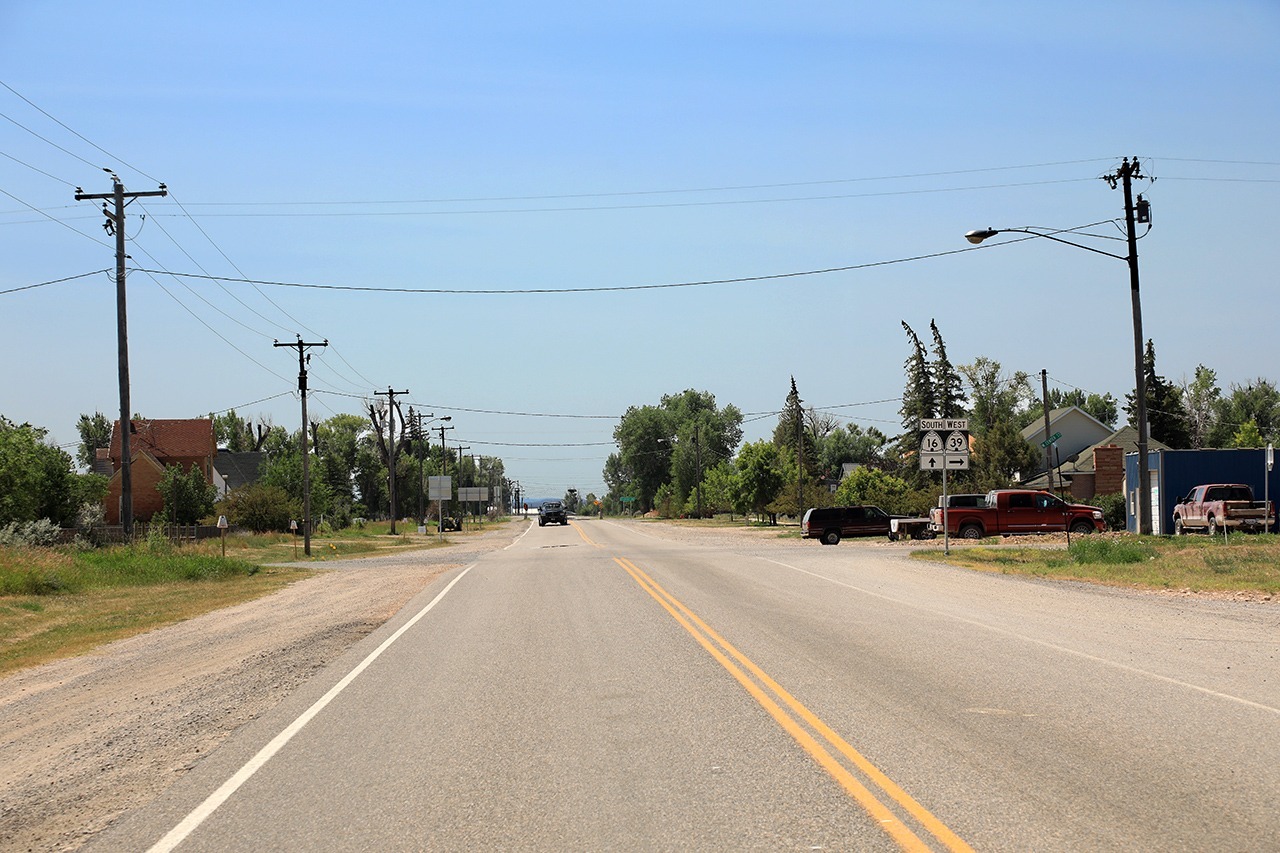
Location: In the Bear Lake Valley south of Bear Lake near the Wyoming border. It is at the intersection of Utah Highways 39 and 16, 41 mi/66 km south of Garden City, Utah on the shore of Bear Lake, 63 mi/102 km northeast of Ogden, Utah and 95 mi/154 km northeast of Salt Lake City, Utah.
Founded: 1870
Named For: Wilford Woofruff, President of the Church of Jesus Christ of Latter-Day Saints, 1889-1898
Population: 224
Altitude: 6339 ft/1932 m
Official Utah Highway Map Coordinates: B-5
Latitude/Longitude: 41.522777778 -111.16138889